CAGDS Faculty and Staff

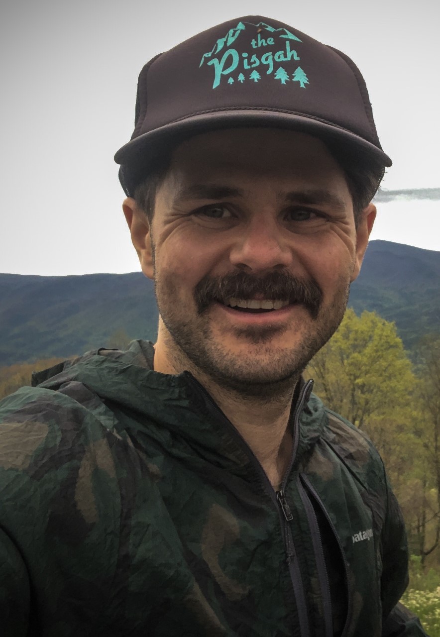
Charlie Mix, GIS Director
Charlie Mix is a geospatial data scientist, cartographer, and educator who is passionate about storytelling through maps and advancing spatial thinking to support a more sustainable world.
He serves as GIS Director at the University of Tennessee at Chattanooga (UTC) and is the founding director of UTC’s Center for Applied Geospatial Data Science (CAGDS). In this role, he leads the integration of GIS across academics, research, and campus operations, while fostering partnerships between UTC and the greater Chattanooga region. His work emphasizes impactful, real-world learning opportunities that connect students with meaningful community challenges.
Charlie is also an adjunct instructor in the University of Tennessee, Knoxville’s Master of Science in Information Sciences program, teaches in UTC’s Honors College, and serves on the graduate faculty in UTC’s Biology, Geology, and Environmental Science programs.
When not immersed in data, Charlie can be found outdoors, usually mountain biking or whitewater kayaking. A lifelong pursuit of adventure and exploration led him to geography and continues to inspire his work today.

Nyssa Hunt, Assistant GIS Director
Nyssa’s years of research experience thus far have been gained from the University of Tennessee at Chattanooga, while exploring the many avenues of their Environmental Science program. In 2014, she earned her B.S. in Environmental Science with a concentration in Geographic and Cartographic Sciences and minors in Computer Science, Biology, and Geography, all of which allowed great immersion into fieldwork and the beginning phases of intensive GIS modeling. In Summer 2018, she earned an M.S. in Environmental Science, in which her thesis research focused on developing and assessing predictive spatial distribution models for an amphibian species listed as both rare and vulnerable in the state of Tennessee. From then onward, Nyssa has continued to work with conservation, recreation, and agricultural analysis for the greater Chattanooga region, collaborates with faculty, staff, and students on projects, and assists community organizations with GIS needs. She enjoys exploring new GIS technologies in machine and deep learning to go further with conservation GIS, and finding solutions to geospatial challenges. Additionally, she is a licensed Part 107 UAV pilot and is glad to assist on research projects in need of drone/UAV flights. Feel free to reach out to her if you ever have any GIS or drone/UAV related questions - she's always happy to help out!

Laura Lee, Geospatial Data Scientist
Laura is a Geospatial Data Scientist for CAGDS. In partnership with researchers at Thrive Regional Partnership and the Appalachian Regional Commission, she is gathering, curating, and analyzing data to be leveraged at a regional level. This data will also be used in a dynamic tool designed to support more connected, resilient, and well-resourced communities across the Appalachian region. This role combines her skills in GIS data engineering, solution development, and geospatial analysis techniques in combination with her passion for conservation and community prosperity. Prior to this position, Laura obtained a Bachelor of Science in Economics and a Master of Science in Computer Science from the University of Tennessee at Chattanooga. Laura has worked for both large and small organizations in the GIS field, contributing to and leading projects in hydrology, remote sensing, conservation, community prosperity/health, outdoor recreation, and socioeconomic development. Laura contributed to her team winning an Esri Special Achievement in GIS award in her previous role. She enjoys learning about complex systems science, developments with GIS software, and ways we can apply interdisciplinary approaches to solve complex biological and sociological challenges.