Geology Student Research
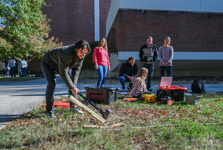
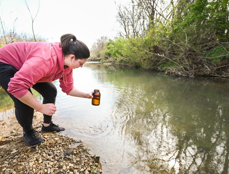
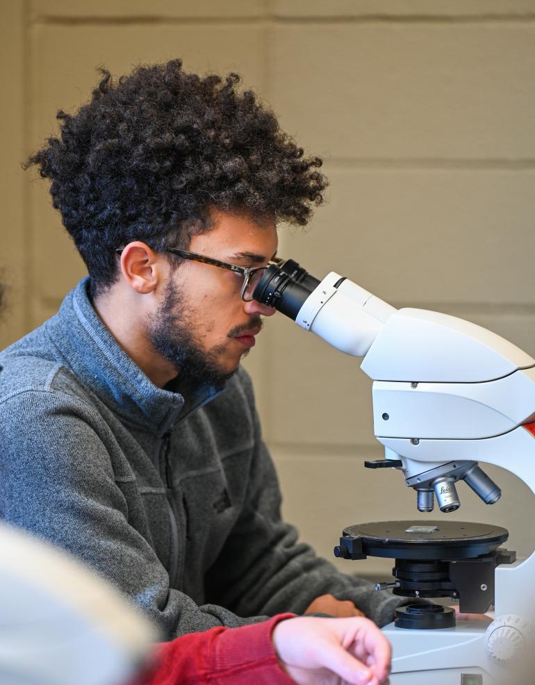
UTC Geology Majors have several opportunities available to conduct research during their 4 years in the program. Students are also able to present their work as poster or oral presentations at UTC’s Spring Research and Art’s Conference (an on-campus research showcase) and regional professional meetings such as the Southeastern Section of the Geological Society (GSA) of America. Our students have also had the opportunity to present research at international meetings of GSA various cities across north America and have participated in and co-authored peer-reviewed scientific papers. Examples of those projects and presentations are listed below.
Journal Publications with Student Co-Authors (student names bolded)
Brock-Hon, A.L., and Morganthaler, S., 2019. Investigation of limestone and dolomite clast alteration in petrocalcic horizons, southern Nevada, USA: Geoderma, v. 342, p. 42-54.
Brock-Hon, A.L., Johnston, S.E., 2014. Separation and characterization of pedogenic barite crystals from petrocalcic horizon materials for future isotopic and geochronological applications: Geoderma v. 217-218, 129-134.
Departmental and Honors Theses
Evan Ritchey: Petrographic observations of stromatolites in the late Cambrian to early Ordovician Knox Group, Northwest Georgia and their relationships to stromatolitic fabrics over geologic time.
Abigail Faxon: Studying the Suspended sediment concentrations in the south Chickamauga Creek of Chattanooga, TN using satellite imagery, digital image processing, and numeric modeling.
Hayley Beitel: Spatial GIS Analysis of Barrovian Index Minerals and Textures in the Metamorphic Zones of the Tennessee Blue Ridge
Presentations at regional and national meetings (past 5 years)
Powers, C., Manning-Berg, A., and DeVries, S. Exploring a potential method to identify and quantify tire particles from other microplastics. GSA Connects 2022, Denver, CO, October 11, 2022.
Mollica, M., Thorton, Q., Manning-Berg, A., and DeVries, S. Assessing anthropogenic effects on water quality in Raccoon Mountain Caverns, Chattanooga, TN. GSA Connects 2022, Denver, CO, October 11, 2022.
Gossett, L., and DeVries, S. (2021). Microplastics in the Tennessee River: Are small streams a major source?” GSA Connects 2021, Portland, Oregon, October 12, 2021. Awarded “Best Student Poster” by the Sigma Gamma Epsilon Earth Science Honor Society.
Mathias, C.A., Spivey, K., Collyer, N., Brock-Hon, A.L., McCarragher, S., 2019. Geology of Chattanooga: Engaging the Community with its Foundation: Geological Society of America Abstracts with Programs v. 51, n. 3.
Dudley, D., Brock-Hon, A.L., 2016. Mineralogical study at Mormon Mesa, Nevada: Geological Society of America Abstracts with Programs, v. 48, n. 3.
Hossain, A., Blanton, R., and Mathias, C., 2019, Quantitative Remote Sensing of Surface Water Quality in Southeast Tennessee. AGU Fall Meeting, 9-13 December 2019, San Francisco, CA.
Hossain, A., and Mathias, C., 2021, Remote Sensing of Water Quality in the Tennessee River Using Sentinel-2 Imagery, GSA Southeastern Section - 70th Annual Meeting – 2021, April 1-2, 2021, Online Meeting. GSA Abstract #362338 (Abstract Submitted).
Hossain, A., Blanton, R., and Mathias, C., 2020, Quantitative Remote Sensing of Surface Water Quality in Southeast Tennessee Utilizing Planet Dove Imagery, GSA 69th Annual Southeastern / 55th Annual Northeastern Section Meeting – 2020, 20-22 March 2020, Reston, Virginia (Abstract accepted). Conference cancelled due to COVID-19.
Bonnette, K. Firat, C., and Hossain, A., 2019, Application of Remote Sensing Technology to Study Coal Ash Spill in River Water, 2019 annual meeting of GSA Southeastern Section. 28–29 March, Charleston, South Carolina.
Burleson, J., York, A., Mathias, C., and Hossain, A., 2019, Exploring the Potential of GIS and Remote Sensing Techniques to Study the Impacts of Drought on Plant-Moisture Content in Hamilton County, Tennessee, 2019 annual meeting of GSA Southeastern Section. 28–29 March, Charleston, South Carolina.
Adair, W.A., Beitel, H.R., Hamid, Z. A., Hossain, A., and Mies, J.W., 2018, Exploring the potential of remote sensing and GIS for geological mapping of Woodall Shoals, GA-SC, 2018 annual meeting of GSA Southeastern Section. 12–13 April, Knoxville, Tennessee.
Beitel, H.R., Churnet, H.G., Hossain, A., and Mies, J.W., 2018, Characterization of metamorphic zones in the Tennessee Blue Ridge using GIS and digital image processing, 2018 annual meeting of GSA Southeastern Section. 12–13 April, Knoxville, Tennessee.
Titles of Select Senior Research Projects (GEOL 4900)
- Reinterpretation of Carbonate Structures within the Bangor Limestone Formation at Raccoon Mountain
- Determining the Effects of Microplastics and Metals on the Production of Nitrates
- Comparing Qualitative and Quantitative Analysis of Petrocalcic Soil Horizons of Baseline Mesa to Soil Horizons Found at Mormon Mesa, Clark County, NV
- Chickamauga Lock’s Hot Topic: Hot Pink Carbonate Origin and Identification
- Quartzite Cobbles Found Along the Tennessee River Near Soddy Daisy, TN
- Impact of Jefferson County Landfill on Local Watershed
- Dimensional preferred orientation of quartz grains within Hesse Sandston
- Trends in the conodonts of the Craters Limestone
- Glacial ablation analysis with respect to anthropogenic sources
- Coastal flood zone construction in three counties along the North Carolina coas
- Exploring Landslide Susceptibility in Hamilton County, Tennessee using GI
- Evidence for Lichen-Induced Substrate Biodegradation of the Monteagle Limestone at Little Cedar Mountain, TN: Mechanisms and Products at the Lichen-Rock Interface
- Monitoring of Glacial Recession in Glacier Bay National Park, Alaska Using Remote Sensing
- Geological Mapping of Woodall Shoals, Ga-Sc Using Remote Sensing and Digital Image Processing techniques
- Studying the Effects of Urbanization on Water Quality of the South Chickamauga Creek using GIS and Remote Sensin


